
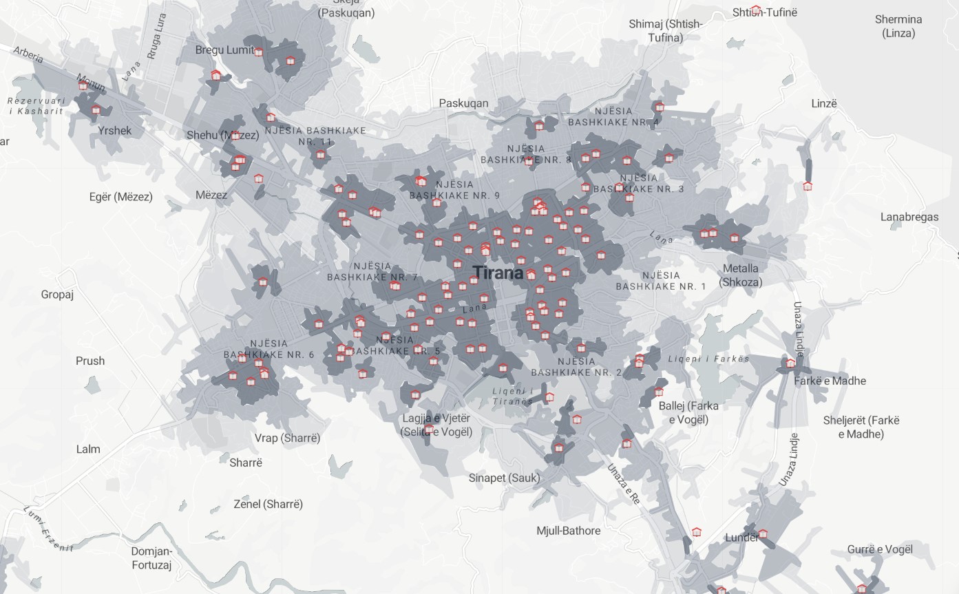
Amenities / Computed
Amenity Accessibility
An isochrone accessibility analysis is a type of spatial analysis that is used to evaluate the accessibility of different locations based on the amount of time it takes to travel between them by walking, biking or driving. In this analysis, isochrones are drawn on a map to represent lines of equal travel time, and these lines are used to identify areas that are within a certain travel time from a given location. This type of analysis is commonly used to assess the accessibility of services and amenities, such as schools, hospitals, and transportation hubs, and can help to identify areas that may be underserved or difficult to access. All amenities or a custom combination can be used to design a custom accessibility index. A non-exhaustive list of possible amenities includes: parking, fuel stations, taxi stations, supermarkets, convenience stores, postal offices, ATMs, money transfer offices, waste disposal bins, recycling bins, urban trash bins, benches, fountains, schools, universities, kindergartens, drinking water stations, courthouses, police stations, places of worship, community centers, shelters, pharmacies, clinics, hospitals. Full list: https://wiki.openstreetmap.org/wiki/Key:amenity
Metadata
Number
28
Availability
Available Now
Original Source
Layer
Resolution
1m
Cadence
Live
Delivery Time
Days
Price
€200
Coverage
Global
Data Range
n/a
Created
7/30/2022 13:26
EECU Seconds
-