
Geospatial / Environment / Infrastructure / Demography
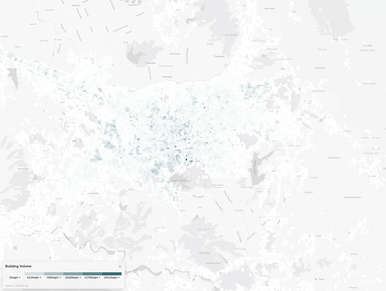
Building Volume
The Building Volume data-set is mapped to settlements worldwide, which are defined as continuous areas of built-up structures. The data is generated through remote sensing, which involves using satellite imagery to collect information about the Earth's surface and is based on optical satellite imagery, which is processed using advanced image analysis techniques to extract information about building volume.
Metadata
Number
12
Availability
Available Now
Original Source
ESA, WSF-IMP, TerraSAR-X and TanDEM-X
Resolution
90m
Cadence
Solo
Delivery Time
Hours
Price
€100
Coverage
Global
Data Range
1/1/2012 - 1/1/2012
Created
2/18/2023 22:55
EECU Seconds
13