
Environment / Geospatial / Computed / Disaster Monitoring
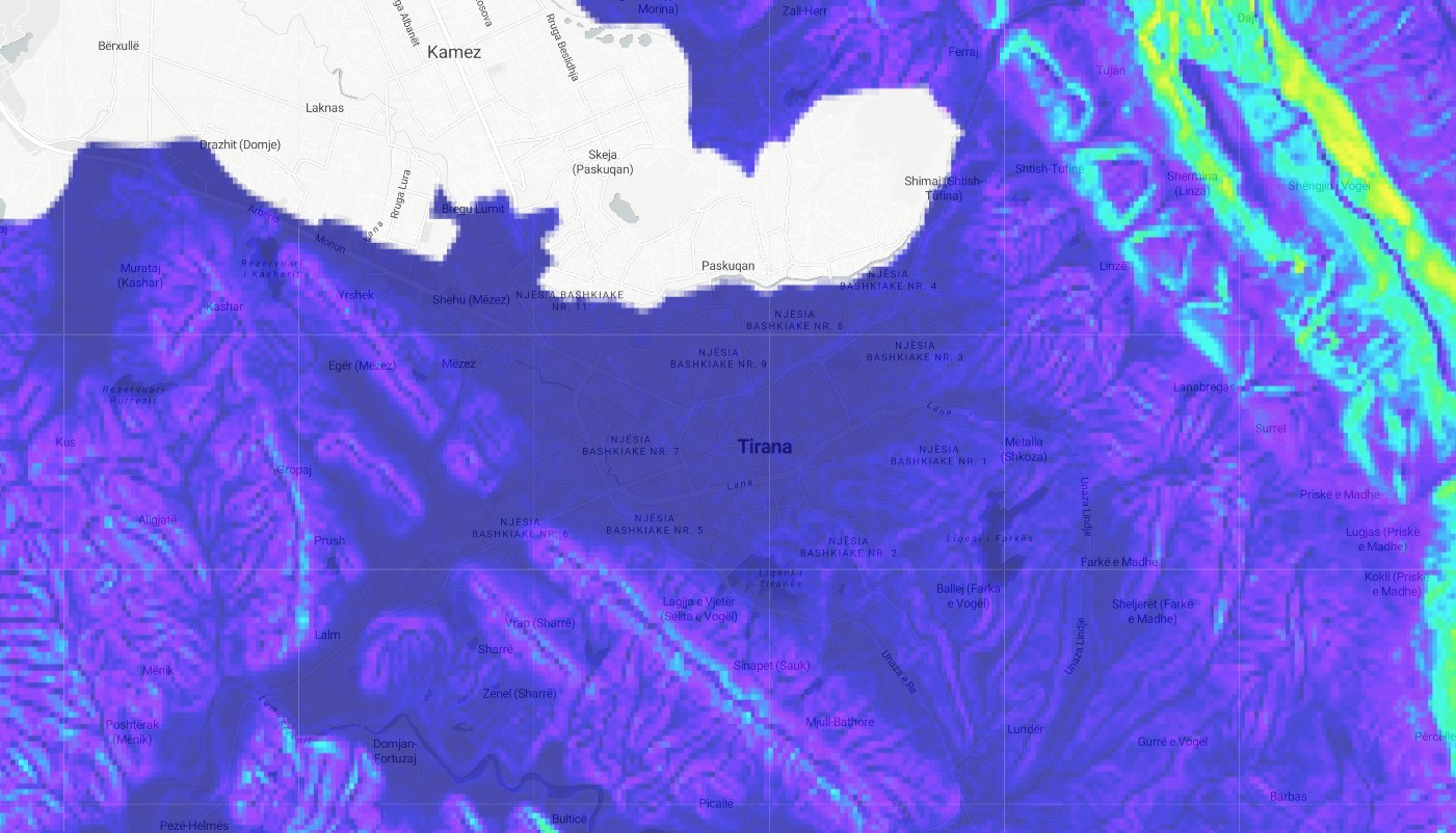
Digital Slope Model
Satellite-derived Digital Slope Model. Geospatially derived slope modelling is a type of spatial analysis that is used to evaluate the slope of a terrain, typically for the purpose of understanding the potential for erosion, landslides, or other hazards. In this analysis, a digital elevation model (DEM) of the terrain is used to calculate the slope of the land surface at each location, and this information is then mapped to show the distribution of slope across the area. This type of analysis can be useful for a variety of purposes, such as for identifying areas that may be at risk of erosion or landslides, for determining the suitability of an area for development, or for supporting the planning and management of land resources.
Metadata
Number
36
Availability
Available Now
Original Source
NASA / USGS / JPL-CALTECH
Resolution
30m
Cadence
Solo
Delivery Time
Hours
Price
€100
Coverage
Global
Data Range
2/11/2000 - 2/22/2000
Created
7/30/2022 15:55
EECU Seconds
13