
Environment / Geospatial / Computed
Nightlight Activity
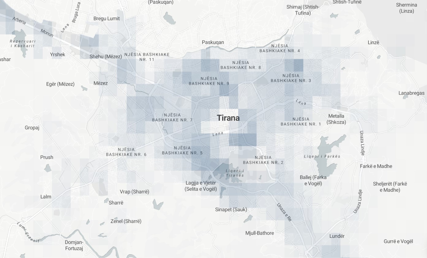
Satellite-derived nightlight activity change from 2014 to near real time. Geospatially derived nightlight change is a type of spatial analysis that is used to evaluate changes in the intensity of artificial light at night over time. In this analysis, satellite-based images of nightlight radiance are used to create maps and spatial datasets that can be compared to identify changes in the intensity of light at different locations. This type of analysis can be useful for a variety of purposes, such as for monitoring the growth and development of urban areas, for studying the impacts of light pollution on the environment and wildlife, high-resolution estimates of urban economic development or for supporting the planning and management of energy resources.
Metadata
Number
8
Availability
Available Now
Original Source
NASA / JPSS / NOAA
Resolution
463.83m
Cadence
Monthly
Delivery Time
Hours
Price
€100
Coverage
Global
Data Range
1/1/2014 - 6/1/2022
Created
7/30/2022 16:09
EECU Seconds
44